
IOTSC Postgraduate Forum: Urban Safety and Disaster Prevention
智慧城市物聯網研究生論壇: 城市安全與災害防治
Dear Colleagues and Students,
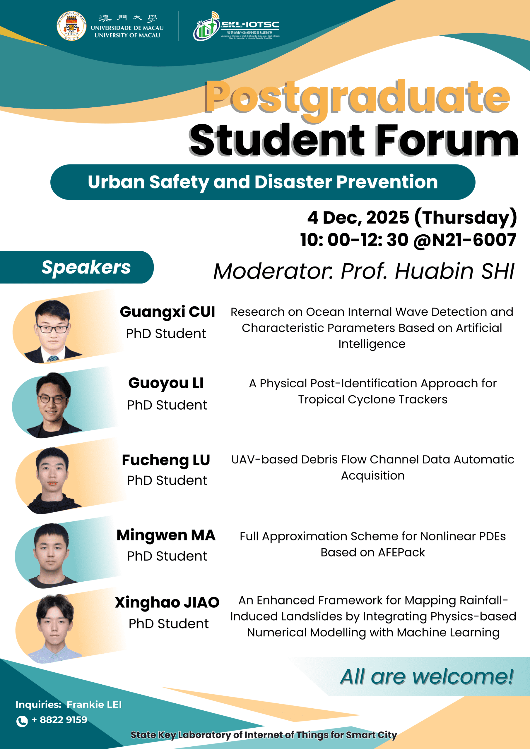
The State Key Laboratory of Internet of Things for Smart City would like to invite you to join our “IOTSC Postgraduate Forum” on 04/12/2025 (Thursday). The event aims to bring together postgraduate students from various disciplines to share their research, exchange ideas, and engage in meaningful discussions. We are pleased to invite five outstanding PhD students to give presentations related to Urban Safety and Disaster Prevention.
IOTSC Postgraduate Forum: Urban Safety and Disaster Prevention
Date: 04/12/2025 (Thursday)
Time: 10:00 – 12:30
Language: English
Venue: N21-6007
Moderator: Prof. Huabin SHI
| Presenters | Abstract |
| Guangxi CUI |
Research on Ocean Internal Wave Detection and Characteristic Parameters Based on Artificial Intelligence Ocean internal waves are a widespread marine phenomenon characterized by large amplitudes, high propagation speeds, and the ability to travel hundreds of kilometers. They generate intense shear flows that significantly impact ocean material transport, ecological environments, and marine engineering. With the rapid development of artificial intelligence (AI) technology, AI-based methods for detecting internal waves and inverting their parameters offer novel approaches. By leveraging intelligent techniques such as machine learning and deep learning, massive volumes of remote sensing and observational data can be processed efficiently, improving the accuracy of internal wave identification and the efficiency of parameter extraction. This provides robust technical support for studying the generation mechanisms, propagation evolution, and multi-scale effects of internal waves, thereby enhancing the understanding of ocean dynamic processes and promoting related marine applications. |
| Guoyou LI |
A Physical Post-Identification Approach for Tropical Cyclone Trackers A new physics-based post-identification approach is developed to enhance the performance of tropical cyclone (TC) trackers. By incorporating environmental steering flow and beta drift as dynamic constraints, the approach effectively reduces False Alarm Rate (FAR) while maintaining high Probability of Detection (POD) in two widely used trackers, CNRM and TRACK. The approach substantially filters out misidentified tracks, most of which correspond to extra-tropical cyclones, while preserving correctly detected tracks. These results demonstrate that embedding environmental dynamic processes into post-identification for TC trackers can improve the tracking accuracy. Furthermore, when applied to TC tracks derived from climate-model simulations, this post-identification framework also has the potential to support more robust assessments of TC activity changes under future climate conditions. |
| Fucheng LU |
UAV-based Debris Flow Channel Data Automatic Acquisition Efficiently acquiring accurate and comprehensive data inside debris flow channel plays an important role in the study of debris flow. Upper-air observation equipment exhibits substantial errors in mountainous regions with pronounced elevation variability. Ground-based equipment also meets the problems of high deployment difficulty, low efficiency and high maintenance cost. UAV automatic exploration has great potential to realize efficiently data acquisition, but the existing algorithms are not suitable for the debris flow gully. A convenient and efficient auto-exploration platform for debris flow channel is proposed. A newly developed UAV autonomous exploration algorithm is designed for debris flow channel environments. It employs SLAM technology instead of GNSS navigation. The instructions for flight control are issued by a route planner, which includes a point cloud merger, a height estimator, and an optimal direction calculator. The exploration algorithm enables UAV to achieve safe autonomous round-trip navigation within the channel. This UAV platform has been tested in two typical debris flow channels in Wenchuan county, China, and successfully obtained the topographic map and the internal information. UAV automatic exploration in complex debris flow channel environments has been achieved, which greatly improves the efficiency and convenience of data acquisition. It is expected to be applied in routine detection of channels with frequent debris flow disasters, which landform and material source distribution change rapidly. |
| Mingwen MA |
Full Approximation Scheme for Nonlinear PDEs Based on AFEPack Efficient solvers for nonlinear partial differential equations are crucial in many areas, including large-scale geophysical modelling (e.g. numerical weather prediction), where nonlinear systems must be advanced repeatedly in time. As a first step toward such applications, we consider steady nonlinear partial differential equations of the form Pu=f in \Omega, with Dirichlet boundary conditions, where P is a nonlinear operator. We study these nonlinear problems within the framework of the finite element method based on AFEPack, and solve them using the Full Approximation Scheme (FAS) method. The algorithm combines a nonlinear Gauss–Seidel smoother with carefully designed transfer operators between coarse and fine meshes, and is tested on both uniform and adaptive mesh hierarchies. Numerical experiments on several nonlinear benchmark problems compare single-grid nonlinear Gauss–Seidel with two-grid and multilevel FAS, using residual decay, discretization error, and a work-unit measure normalized by one finest-level sweep. The results show that multilevel FAS can achieve a given discretization error at substantially lower cost. Future work will extend FAS to time-dependent problems, parallel implementations, and convergence analysis. |
| Xinghao JIAO |
An Enhanced Framework for Mapping Rainfall-Induced Landslides by Integrating Physics-Based Numerical Modelling with Machine Learning This study introduces a novel framework to improve the spatio-temporal prediction of rainfall-induced landslides by integrating a slope stability model with machine learning. The framework is trained on a comprehensive 24-year dataset of rainstorm and landslide records in Hong Kong, and validated against a major storm event in June 2008. The proposed framework significantly outperforms the conventional models, achieving an AUC of 0.88 with a true positive rate (TPR) of 0.82 and a false positive rate (FPR) of 0.02, compared to the physics-based models (AUC=0.77) and the independent machine-learning models (AUC=0.82). Feature importance analysis identifies the five most influential features as susceptibility, slope angle, bedrock, factor of safety (FS), and 24-hour Maximum Rolling Rainfall (MRR). The proposed framework achieves stable predictive performance after learning from approximately 20 years of historical data. It is also of high computational efficiency, requiring only about 9.5 minutes on average to generate a raster map in the case study. This framework can rapidly generate landslide predictions and hazard maps for specific rainfall events, and therefore is expected to be directly useful for assessing landslide hazards. |
All are welcome!
For enquiries: Tel: 8822 9159
Email: frankielei@um.edu.mo
Best Regards,
State Key Laboratory of Internet of Things for Smart City